Topographic and Advanced Geomatics Surveying Services in Ontario
High-precision spatial data to guide smarter decisions and better designs.
Monument provides advanced surveying and geomatics services for infrastructure, land development, and environmental monitoring. Using LiDAR, photogrammetry, and 3D modeling, we support accurate planning, engineering, and construction outcomes.
Our Services Include:
Topographic and Pre-Engineering Surveys
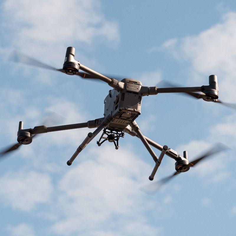
LiDAR Scanning (Aerial and Terrestrial)
Photogrammetry and Orthophoto Mapping
3D Modeling for Machine Control
Virtual Design and Construction (VDC)
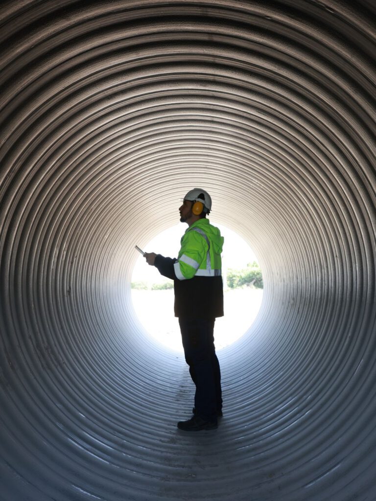
Bathymetric and Mine Surveying
Our Approach
Our geomatics capabilities go beyond data collection. We deliver survey-grade precision that feeds directly into engineering design, machine control, and construction layout. Creating a seamless workflow from concept through closeout.
Feature Project
Environmental Remediation: Port Hope Area Initiative – Nuclear Waste Cleanup
Since 2016, Monument has delivered precision geomatics and engineering services for Canada’s largest low-level radioactive waste cleanup effort. This project included Remediation support, quantity tracking, and legal surveys.

